The Book of Water

I read a number of blogs about water. One I read with more frequency than others is On the Public Record (OtPR). I’ve been reading it since I saw it in an article in the Los Angeles Times. The writer is credible, smart, thorough, and possesses a style that makes for entertaining reading. At least for me.

One item mentioned in the LAT article was The California Water Atlas. OtPR mentions it in response to a reader looking for background material on California water. “All the cool kids have one. Don’t know if it has information you couldn’t find online these days, but having one in your office is part of the secret handshake.” I decided I wanted one but it took me a couple years (and seeing a citation of it in an Edward Tufte book) to get around to buying one on eBay. I think I paid $80 for it. But it cost $39.86 (plus $2.39 in sales tax for California residents) in 1980. That works out to about $130 today, according to the first inflation calculator I found online. So I guess I got a deal.

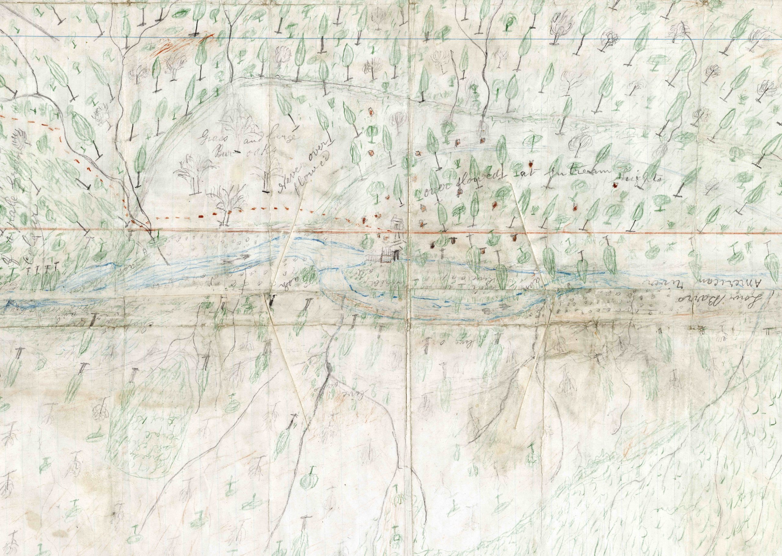
However, you don’t have to spend anything for a virtual copy. It’s available as a .pdf from the David Rumsey Map Collection and it’s worth downloading the big version (180MB). I don’t know how much of the material is still current, but it’s worth having for a couple reasons. One is that it’s impressive that a state agency would undertake a publication like this, and for another it’s probably the best example of graphic literacy in a book that I’ve ever seen. In an article in the Jan/Feb 1980 Sierra by Marc Reisner (which I found tucked into my copy of the atlas) he said, “Some of the graphics convey at a careful glance what whole books do not teach.” If people built their presentations this way PowerPoint wouldn’t have such a bad reputation.

The book itself needs a pretty large coffee table to be a coffee table book. It’s almost 19″ tall and over 32″ wide when open. That only makes the content more impressive, though. And if having a larger table and a deeper shelf is all I need to be one of the “cool kids”, that’s something that I can do.

The 405

I guess we’ll start with the title. I never heard “the” used in front of a number of a highway before my wife and I came here. It’s used for all flavors of highway – “the 1”, “the 101”, “the 5”. Interstate 405 has another name as well – “the San Diego Freeway”. I would guess other names people use for it aren’t appropriate here.

The 405 is a bypass that leaves the 5 freeway northbound near El Toro in Orange County. It runs west of the 5 until meeting up again near San Fernando 72 miles later in the “Valley”. You can tell it’s a loop from the 5 from the route number – three digits starting with an even number (meaning bypass – an odd number means a spur) and ends in “05” (the 5 is the parent freeway). Since the 405 has only one route between its two intersections with the 5, it’s a bypass. If there was another branch to the east of the 5, the 405 would be a beltway.

I’ve been driving my stretch of this freeway about a quarter of its lifetime, and in that 15 or so years I’ve seen a number of changes. The replacement of one Goodyear blimp with another after an accident and the new blimp’s inflatable hangar (which is usually not inflated). The proliferation of large digital billboards vying for your attention while you’re driving in the pitch black before work. Auto dealers with sports cars displayed so you can compare them to the car you’re stuck going 4 mph in. This is only outdone in the irritation department by the “experience center” built by a well known sports car maker where a golf course used to be – now you can see people thrashing sports cars around a closed track while you sit in traffic anticipating the day they carve another carpool lane out of the highway and charge a toll so that the rest of us can go even slower.

The last paragraph has a bitter tone, but the 405 isn’t all bad. So let me close by observing that there are a lot worse places to be stuck in traffic than between the Valley and Orange County. The weather is usually good enough to put your windows down. The drivers on the 405 are as good in general as anywhere else (how would you measure that?) Occasionally you get to see the blimp making a landing. Los Angeles has two NPR stations to listen to, so when one has a pledge drive, you can always switch to the other (after donating, of course). And without the 405, my commute would be even worse.

Trona

Trona is an unusual place. I first visited – well, I didn’t actually stop. Let’s say I first experienced it when I drove through it on my way to Death Valley, and that was 30 or so years ago.

Trona is a company town. The core of Trona is a mining operation and chemical plant on the “shore” of Searles Dry Lake, a vast expanse of potash and boron. In the ‘50s Trona’s workers lived in company-owned housing and were paid in company scrip. Trona had its own money (take that, San Francisco). Not all was Mid-century modern, though. The town was the setting for several strikes during the 60s through the ‘80s, one of which is memorialized in the book Trona, Bloody Trona, which is worth a read. But today, economic forces and increasing automation have turned Trona into a miniature version of the post-industrial Midwest, complete with decaying housing and apparent drug problems.

The historical marker along the road states that “half the natural elements” are found in Searles Dry Lake. It goes on to say that that the lake itself was discovered by John and Dennis Searles in 1862 and they mined it until 1897. Also noted is that the lake is the “world’s largest chemical storehouse” without defining what “large” is in this context, or for that matter what “storehouse” means.

However, the lake is rich enough to support the Searles Valley Gem and Mineral Society’s “Gem-O-Rama”. I haven’t been to one yet, but the website is here. I’m sure it’s serious work for geologists and fun for rock hounds, but to me it looks like a 12 year old boy’s dream weekend of high explosives, heavy equipment, and mud. However, the point is the minerals. The most popular is pink halite which is sodium chloride – plain table salt – colored by bacteria living in the water which the salt is deposited out of after drying. Note – use brine (available for purchase) to wash the mud off. With fresh water the pink crystal dissolves with the mud.

The Trona Pinnacles are nearby. They are not to be confused with Pinnacles National Park, 220 miles to the west-northwest, mentioned in last week’s article. Trona’s pinnacles are on a much smaller scale but are probably more famous, having appeared in a Star Trek movie.

I’m not sure why Trona occupies such a large place in my head. The fiction I’ve written (I’ve taken writing classes – not that you can tell) seems to gravitate toward there. I’m always excited to talk to anyone who has been there. I’ve watched a couple movies set in Trona. But I’ve probably not spent two hours in town in my entire life. I never had enough courage to have a beer at the “Searles Lake Yacht Club” before it burned down, and I didn’t see any need to look up any of the dozen or so churches on the “Welcome to…” sign.

It can be pretty and ugly at the same time – it’s at the foot of the Sierra and just south of Death Valley with sharp high desert air and long colorful views, but has a distinct chemical smell and miles of strangely shaped pipes and huge piles of various ores and earths. I’m sure there are plenty of friendly people there – it seems like the Gem-O-Rama is a great party. At the same time the impression you get driving through on 178 is that you’re trespassing in a factory that someone would rather you not be anywhere nearby.

I guess a lot of human experience is like that.

Condors

There’s something about condors. They’re kind of hard to look at closely until you get used to them. They look like vultures, but even more so. Neither species has a look that humans immediately appreciate. They don’t have the regal bearing of an eagle, or the mystical countenance of an owl, or the calm demeanor of a Mourning Dove. They’re ugly when you first look at them. And it’s a shocking kind of ugly. An orange head that wouldn’t look out of place on a clown. A ruffled collar that looks like it belongs on a 1930s movie villain’s coat. There is a point in those fashion choices, though. The reason that’s commonly given for the naked heads of condors (and vultures) is to keep the nasty organisms they encounter while sticking their heads into carrion from sticking to them. But I guess I don’t completely understand this. Bald Eagles are to an extent carrion feeders too, and not only are their heads covered with feathers, their head feathers are white. Go figure.

Whatever the reason is that they look the way they do, once you get past the surface appearance the condor is a spectacular creature. Besides the fact that they’re huge, they can fly hundreds of miles a day on thermals with the grace of… well, nothing else I can think of. You might think they’re looking for carrion, but they’re really searching for vultures. Vultures have a better sense of smell, so the condors depend on them to locate dinner. When the condors see the vultures on a carcass, they show up and drive the vultures off. Not to beat up on Bald Eagles again, but I’ve seen them do essentially the same thing. Thirty eagles watching the tailwater of a dam will mob the one who actually catches a fish. (This is not intended as political commentary.)

As of this writing, there are over 300 California Condors in the wild and over 200 in captivity. But they’re still on the precipice of non-existence. And they’re only doing as well as they are through intense assistance from humans. Every California Condor alive in the late ‘80s (22 or 24, depending on who you ask) was captured and the population was rebuilt through an extensive captive breeding program. Since reintroduction in 1991, the new wild population has been growing and in the last couple years has produced more condors born in the wild than die over the same period. But due to the hazards of lead fragments in parts of game animals formerly left in the field (the complete ban on all lead ammunition for all hunting in California took place in July 2019) and plastics ingested by young birds, condors are still certain to depend on human help for the foreseeable future.

If you’ve seen a condor in flight, you know that it’s worth the effort to keep them around. My wife and I saw six of them at Pinnacles National Monument a year or so ago, and didn’t mind the drive to get there from where we were staying at Morro Bay. It was late in the afternoon when we saw them. There were vultures soaring in the updrafts near the monument’s rock formations when in came three huge birds with white under their wings. A California Condor can weigh upwards of 20 pounds and can have a nine foot wingspan. Vultures are big birds (and graceful, effortless fliers) and the condors were in another class on both counts. We saw three more over a nearby peak. They’re at least as beautiful in flight as they are “ugly” up close.

California has a state bird that isn’t the condor. It’s the California Quail, a cute little busybody that has a question mark on its head. They’re a lot easier to find than condors (although neither is as common as a California Gull or a California Scrub-Jay). But when it came time to put something on the back of the statehood quarter with John Muir and Half Dome, it was the condor that got the nod.

Fortunately, on the quarter the condor’s head is too small to see what it really looks like.

Huell

Editor’s Note: I was certainly not on a first name basis with the subject of this article. I didn’t know him. However, there is only one person who this single word title could refer to.

I kind of assumed I wouldn’t get far in this project before coming to this topic. I’ll start off by stating directly that Huell Howser is a substantial inspiration for what I’m doing here. There is no way for me to consider doing a random collection of pieces loosely connected to California without recognizing the influence of watching countless hours of California’s Gold. I‘m a huge fan of the program and I likely ended up with a similar vision of the California reflected in it.

There are articles online and work in print that covers Huell’s biographical details so I won’t do that here. If you don’t already know that the collection of California’s Gold and the rest of his work is available online from Chapman University, here’s a link to it.

California’s Gold consists largely of very long duration takes shot by a cameraman with a handheld chasing Huell around somewhere obscure. And it all seems totally spontaneous. Huell had a talent for getting someone to respond as naturally as if the camera wasn’t there. Part of that was probably due to his enthusiasm for discovering something for the first time and being really interested in what his subjects were doing and saying. He was often a bit over the top – a friend of mine told me that if we had a game where we took a drink every time Huell said “That’s amazing!”, we wouldn’t be able to drive after the first evening and we’d be ready for detox in a week.

What really had (and still has) an effect on me, though, is the idea that viewed the right way there are fascinating and important stories everywhere. Everyone has at least one. And if you approach and present them honestly, people will be interested and will listen to and appreciate what you’re trying to do. Huell seemed to be comfortable in his own skin and knew he was doing the work that he was good at.

I only saw Huell in person once. Typically he was following someone around asking questions with a cameraman in tow. Even if I’d wanted to there’d be no way to stop him to talk. But if I had the opportunity to talk to him now, there’s no question what I’d say:

That was amazing.

Treasure Map

In 2017 my wife and I drove to Idaho to see the solar eclipse, and we spent a weekend in Sacramento on the way. That Saturday we visited the state capitol building and saw what I imagine are the typical things to see; the Assembly and Senate chambers, the restored historical offices, the governors’ portraits (including the excellent portrait of Jerry Brown by Don Bachardy). Something we saw that I didn’t expect was an exhibition of items from the California State Library. And one of the artifacts they had on display was worth the trip all by itself.

The exhibits were spread among several rooms of glass cases. One of the items on display was a crude hand drawn map in colored pencil. It showed what appeared to be a river surrounded with little drawings of individual trees. It was the perspective that caught my eye – the tree tops all pointed away from the center of the page instead of toward the top. I think the intent was to suggest the topography of the land around the river. But to me it seemed as if it was a view from directly overhead, with the trees flattened as if by an explosion from the tiny structure drawn in the middle of the page.

As it happened, something historic did occur in that river, and it was more dramatic and far reaching than an explosion. The river pictured in the map was the American River near Coloma in January 1848, and the mapmaker was James Marshall. The occasion was Marshall’s discovery of gold while overseeing the construction of a sawmill for John Sutter. This event contributed to California’s rapid admission to the United States without the typical period as a territory and changed the landscape of the West (and the rest of the United States) virtually overnight.

I’ve attached a .jpg of the map that I made from the .tif on the State Library’s website here. The original is here but is over 200 MB so you might want to look at the .jpg first. I’ve also found a photo of what is believed to be the first piece of gold Marshall found, which is in the collection of the Smithsonian in Washington.

The label near another drawing (also by Marshall) read “This crude pencil drawing … delineates perhaps the most important event in California history in the discoverer’s own hand.” There’s nothing I can add to that.

Highway Signs

California highway sign

Something that puzzled me about California for a long time was the state highway sign. I didn’t even know what to call the triangular, somewhat rounded but pointy on top shape, let alone what it was supposed to represent.

My wife and I have lived in a number of states and driven in quite a few more, and I’d noticed that places often indicate something about themselves in the design of the signs identifying their state highways. The signs in Utah have the silhouette of a beehive. Pennsylvania has a keystone. Washington State has a profile of the first President. Wyoming has the “Bucking Horse and Rider” (a registered trademark). New Mexico has the Zia sun from the state flag. Colorado has a symbol from their flag, too. State outlines are also popular; Missouri, Ohio, Florida and Texas are a few (although the Texas outline shows up on “farm-to-market” and “ranch-to-market” roads instead of the state highways). I guess if Colorado or Wyoming used the shapes of their states on the highway signs no one would be able to tell.

On my first visit to California, as soon as I drove away from the airport I noticed the pointy shape of the green state highway symbol. I wondered about it for a bit and I forgot about it when I left. It would be noticed (and forgotten) again on other visits. Then we moved here and I decided I needed to find out what the shape of the sign meant.

This was before a web search was the way to learn things, so I started with my coworkers. Most of them were born in California, but no one seemed to know. I heard guesses from “the top of an acorn” to “a bishop’s hat”. None of it sounded plausible to me. I asked other friends and acquaintances with no more success. So I decided to call the people who I thought would be most likely to know – the owners of the signs.

My call to the first number for CalTrans I could find in a telephone book went something like this:

Me: I’m calling about the shape of the state highway sign.

CalTrans: Is there a specific sign you’re calling about? Do you have a route number and mile marker?

Me: No, I’m asking in general. What does the shape mean?

CalTrans: It means you’re on a state highway.

Me, after a pause: But what does that shape represent? That roughly triangular green shape that’s pointed on the top? What is it supposed to be?

CalTrans, after a pause: I don’t know.

I guess at that point I should have tried to talk to someone else at a different phone number but I didn’t. I got distracted and forgot about it again.

Much later, I was at the website 50states.com (researching something very important, no doubt) and I found the answer. Unfortunately, the site has changed so I can’t link to the exact spot.

The answer was the original sign shape had the bottom round “corners” as right angles and was intended to be mounted on a post instead of a freeway overhead. This makes the sign and post look like a shovel, with the mystery shape representing the blade. This commemorates the ’49ers coming to the Gold Rush with their shovels. I’ve also read a legend that shovels were used to mark the miners’ trails, although I can’t imagine dragging a shovel across the continent to leave it along a trail where someone else without a shovel would probably take it.

It’s easy enough today to do a web search for “California state highway sign shape” and get much more of the story. KCET has a good article here.